Ortho-rectification

Ortho-rectification is a process that uses multiple overlapping vertical aerial photographs of an area to create an ortho-photo. Using these overlapping photographs, common points are triangulated and a 3D model of the terrain is created.

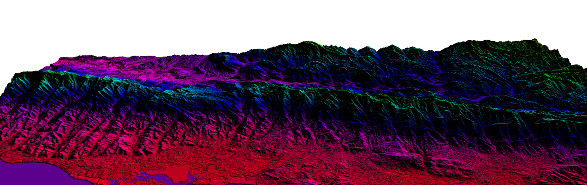
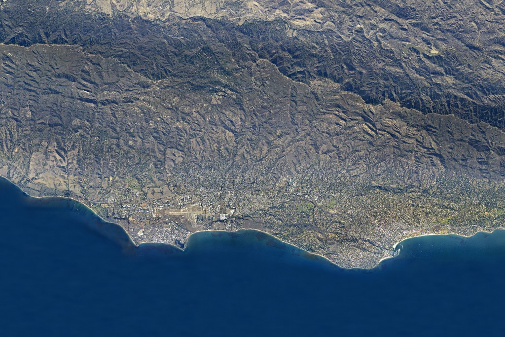
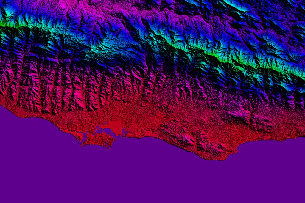
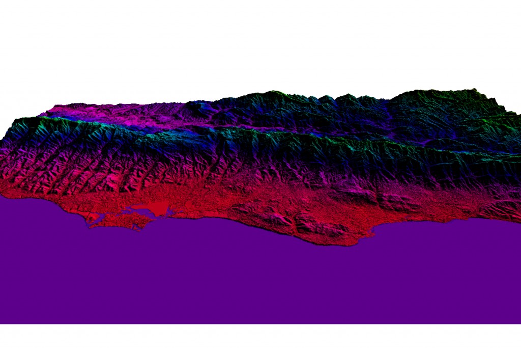
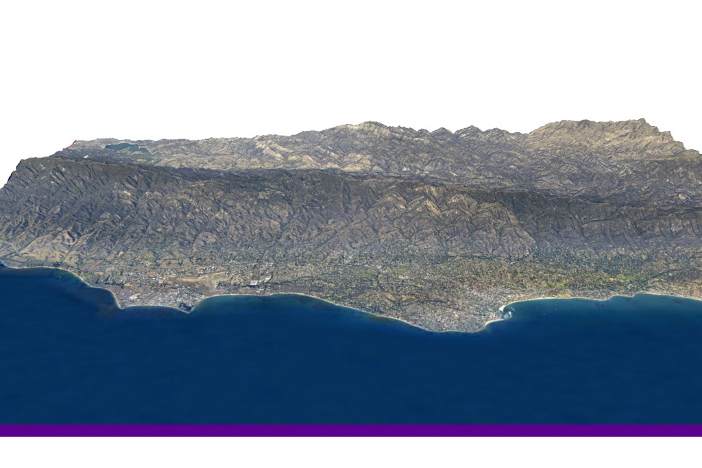
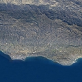
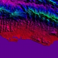
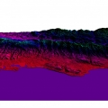
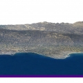
This 3D model, in combination with survey data and aircraft GPS data, is used to create an accurate map of the scene. Ortho-photos are the foundation of maps used in geographic information systems (GIS) including Google Earth.

Focal Flight does all of our ortho-photo production in-house, and provides very fast turnaround times for most projects.

  • 1 Santa Barbara Ortho
  • 2 Santa Barbara DEM
  • 3 Santa Barbara 3D DEM
  • 4 Santa Barbara 3D Ortho

Contact Focal Flight today to discuss your aerial imagery needs

Focal Flight, LLC
226 West Ojai Avenue
Suite 101-173
Ojai, CA 93023-2406

(805) 630-0065
(805) 585-3710 Fax

info@focalflight.com


  • This field is for validation purposes and should be left unchanged.